Camera with me today for a Weets circular. I have described this before on the old site but never put the pictures up. Our Aussie members may like these:
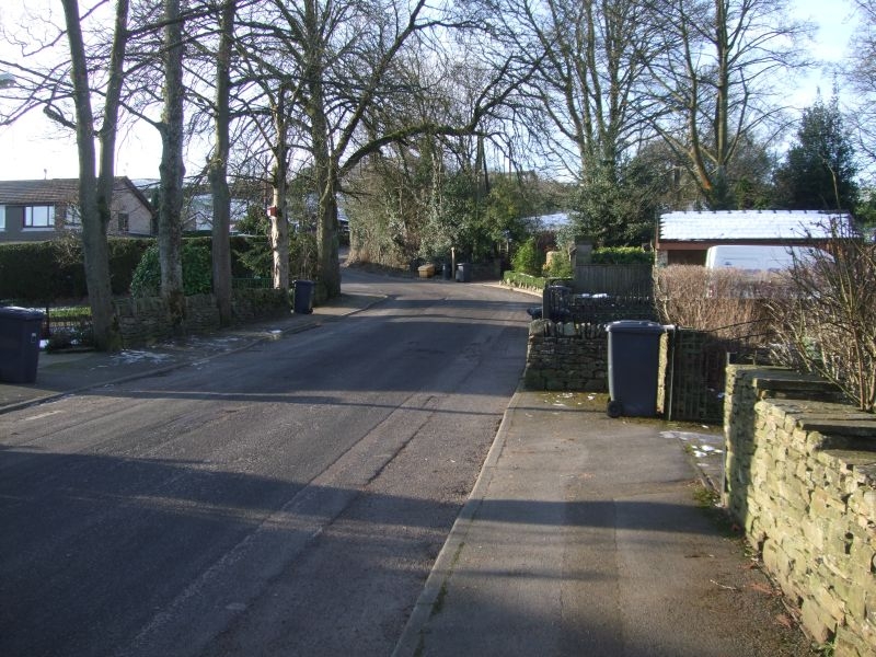
Aptly named Moorgate Road.
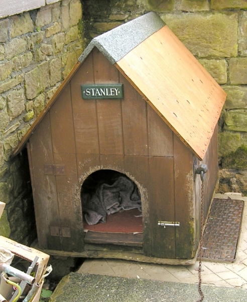
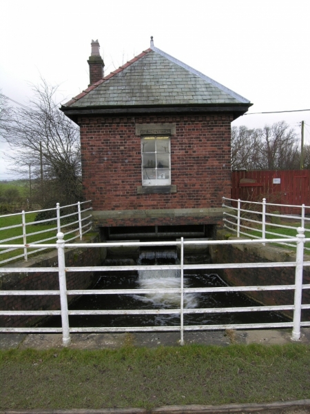
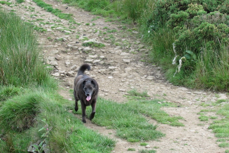
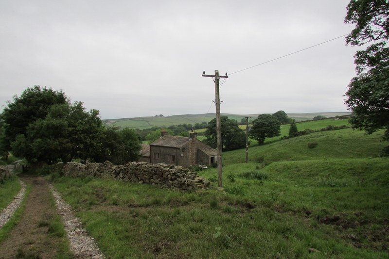
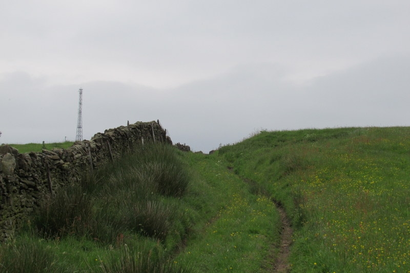
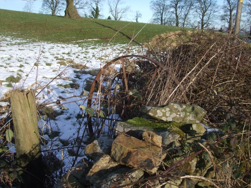
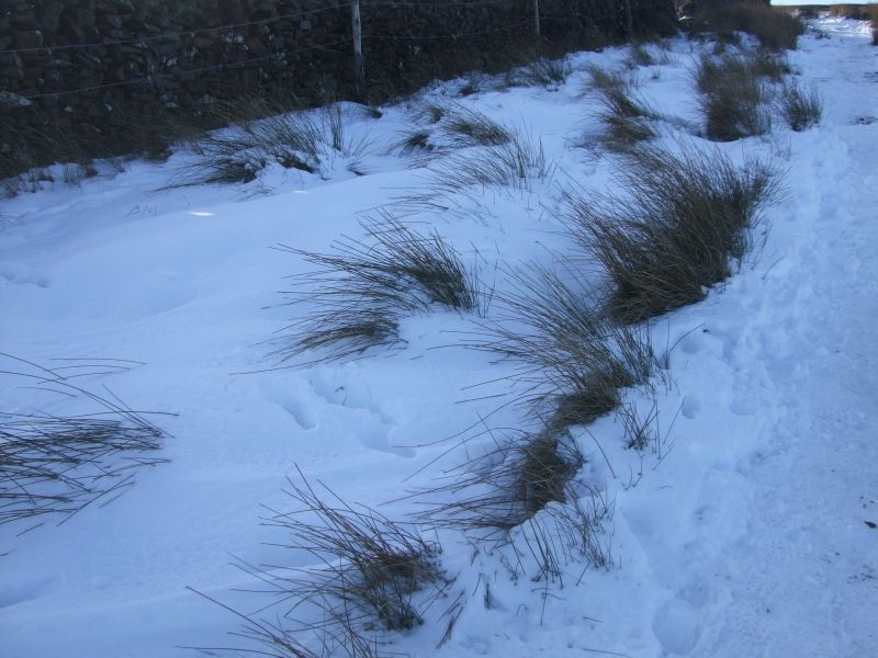
Old technology off Folly Lane.
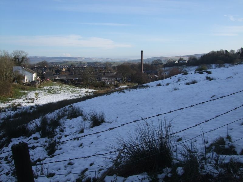
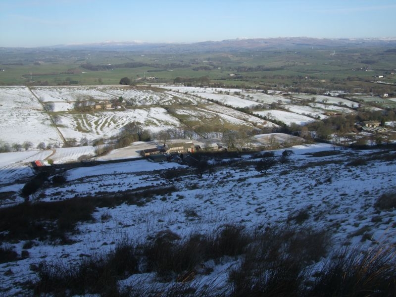
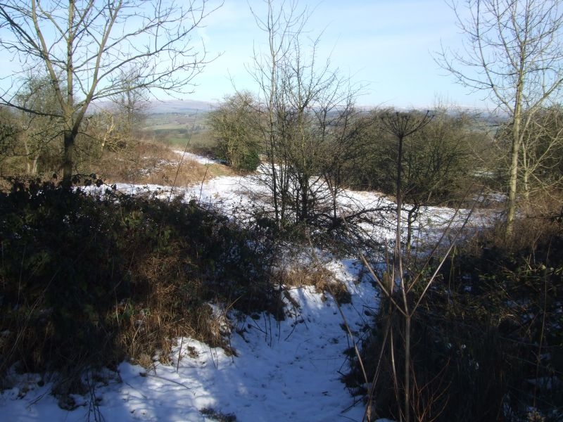
Looking back down Causeway Carr, Bancroft nestling at the bottom.
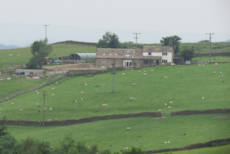
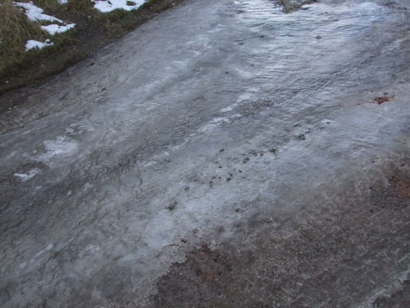
A bit slippy on the concrete bit on the way up to Standridge Farm.
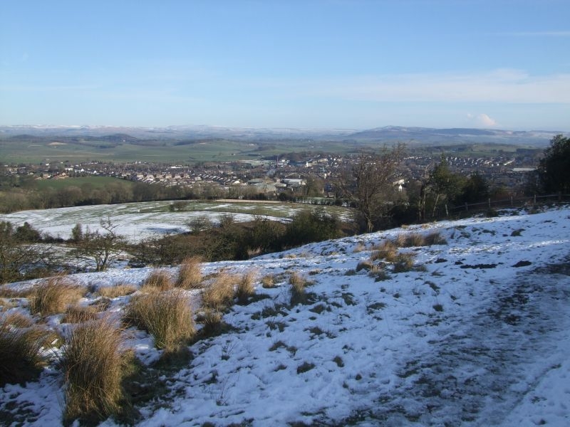
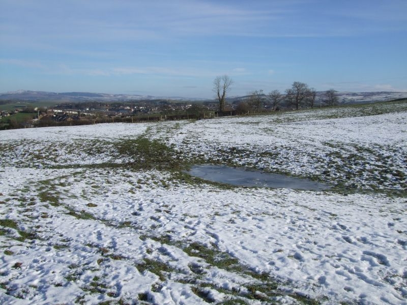
Over the stile above Standridge and into the first field, a first look back at the town.
Another group of walkers following me up, view back from the second stile.
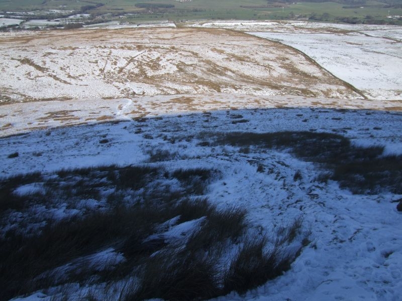
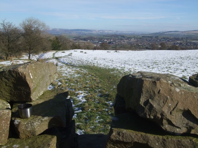
View upwards to Bronze Age bank visible on the hillside.
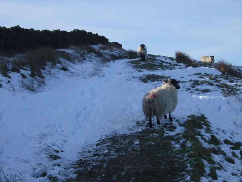
A watchful eye from the sheep.
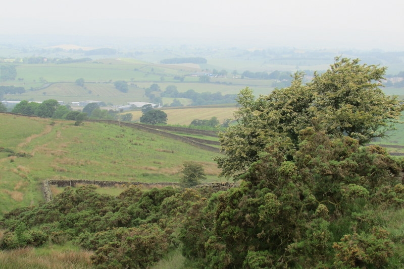
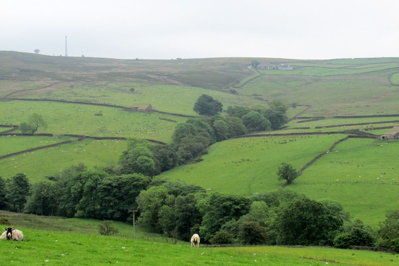
Looking down into the valley.
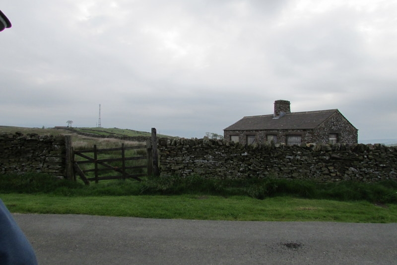
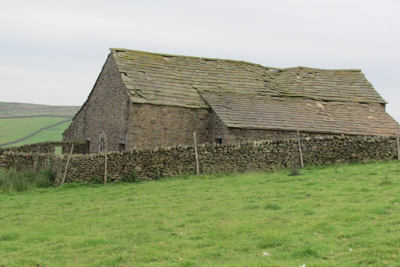
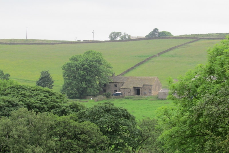
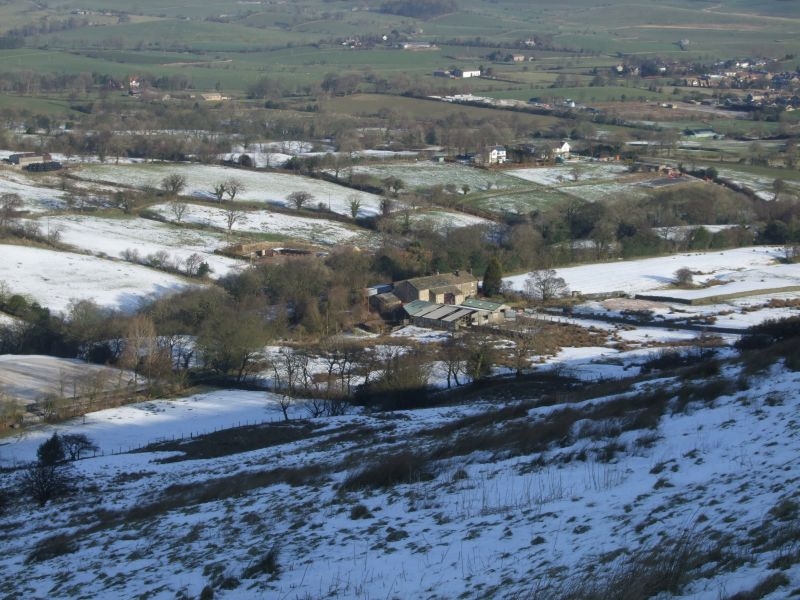
Moor Close Farm
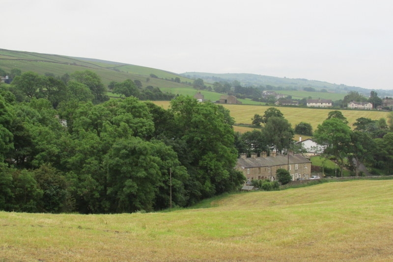
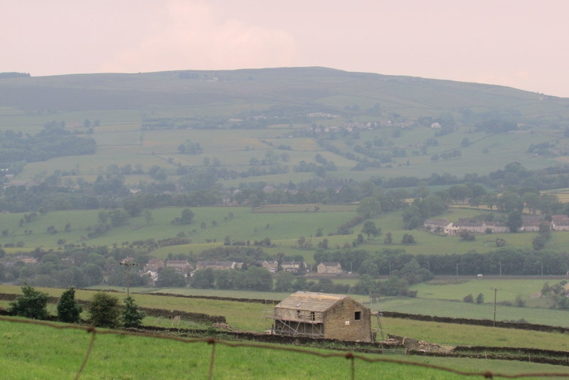
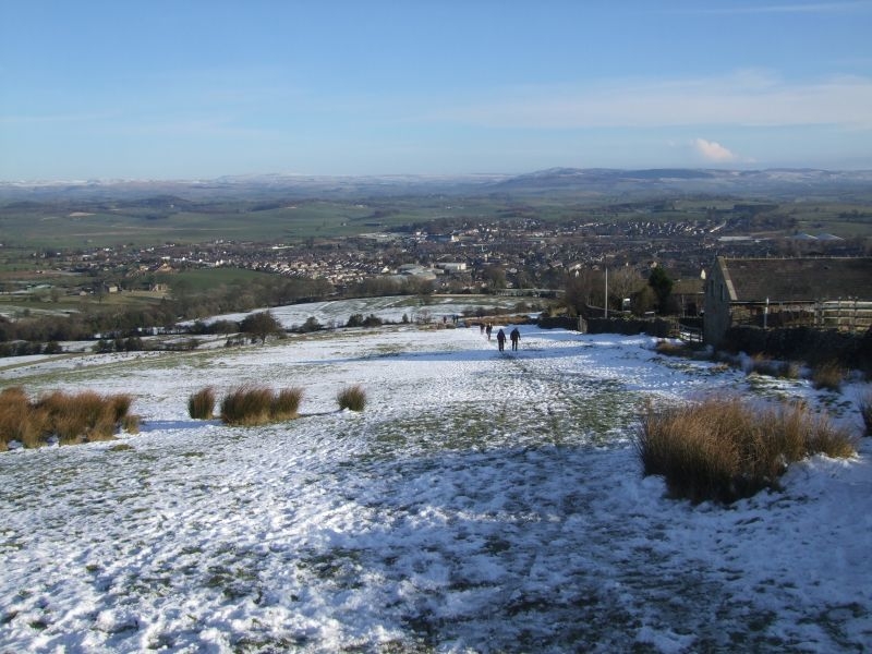
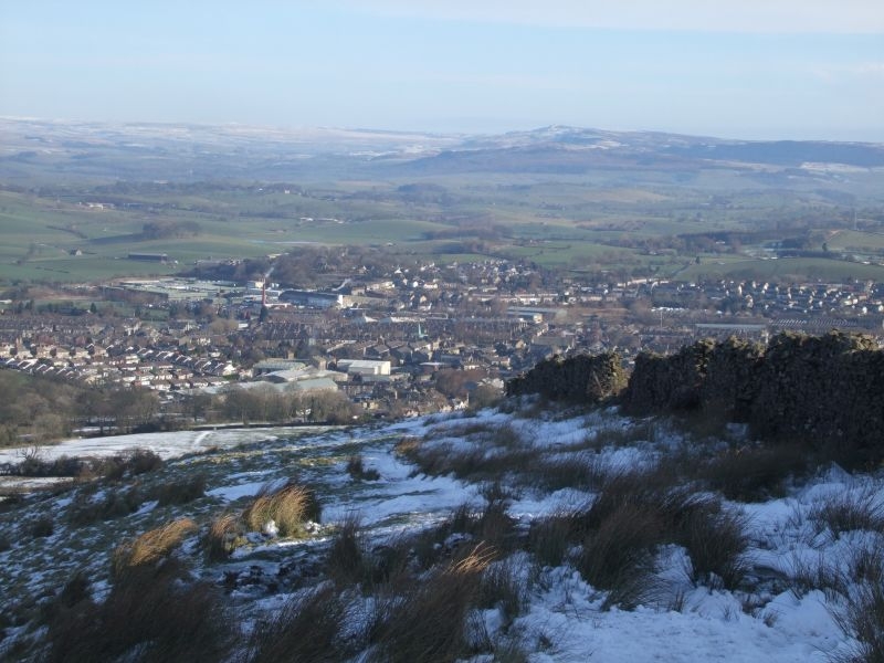
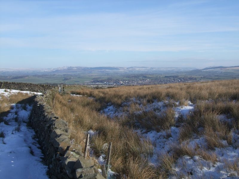
Another view of Barlick from slightly higher up.
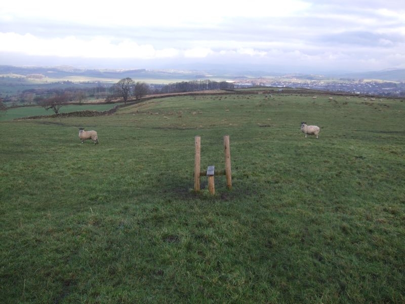
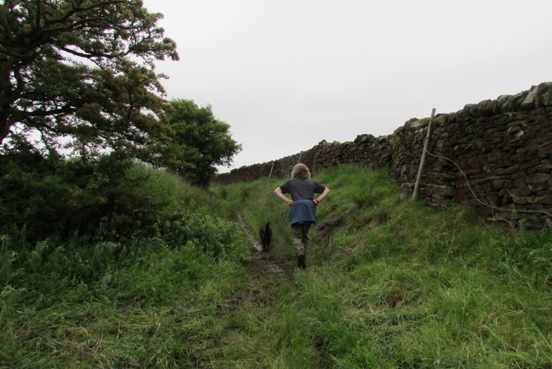
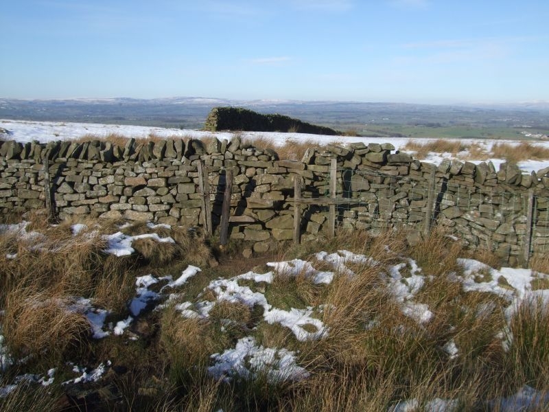
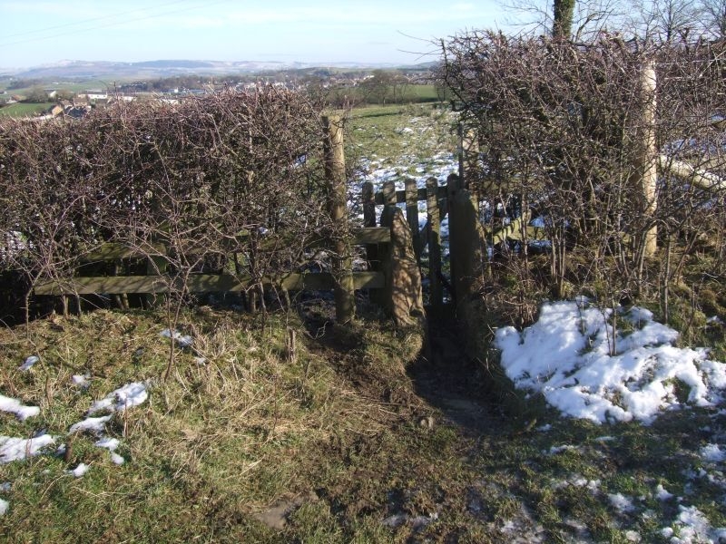
Third stile.
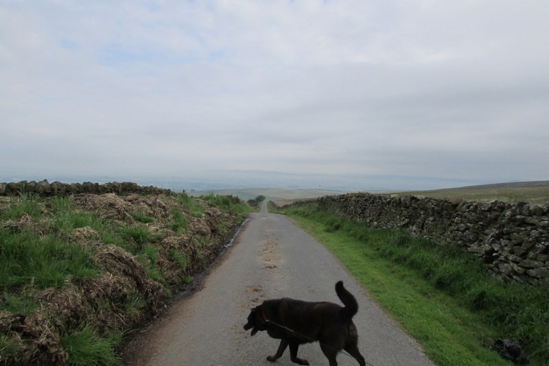
Drifting
Levelling off on the approach to the fourth stile.
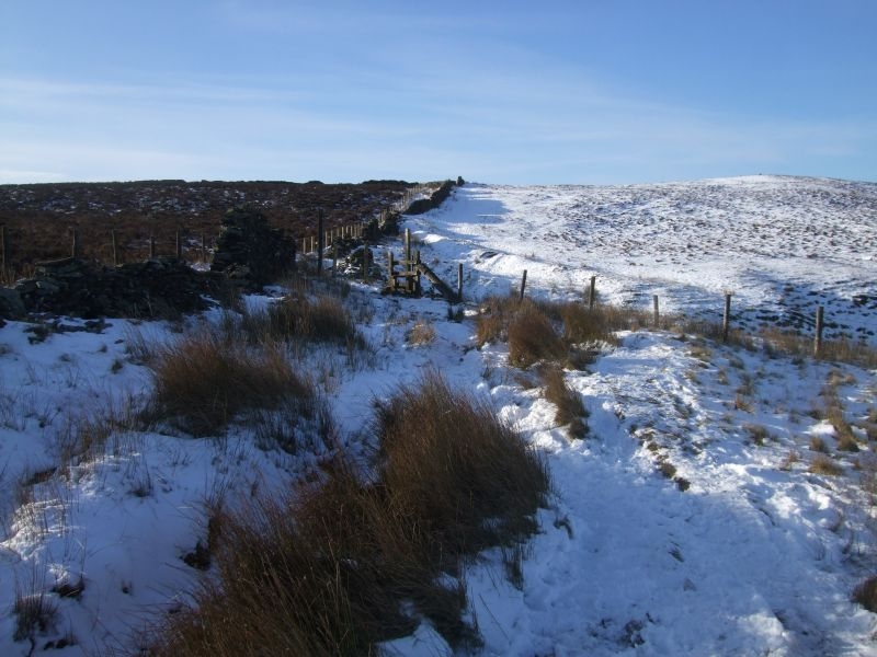
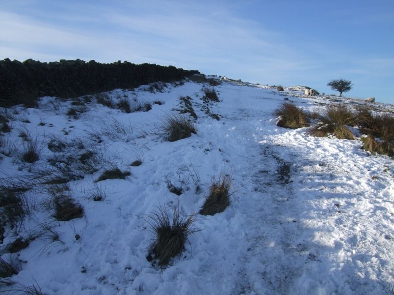
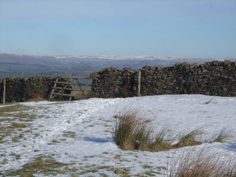
Fourth stile with the scar on the hill on the other side.
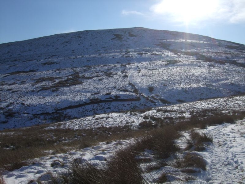
Summit Trig Point ahead.
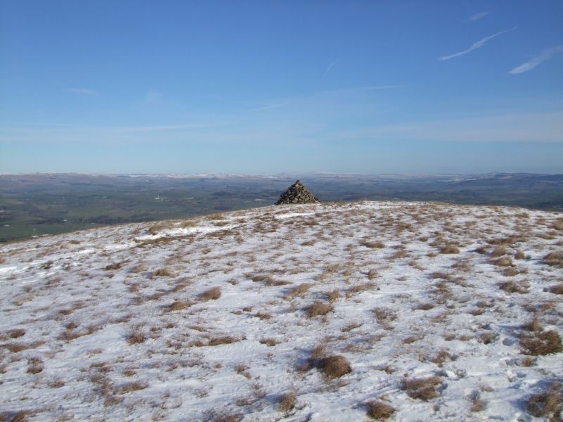
Marker Cairn.
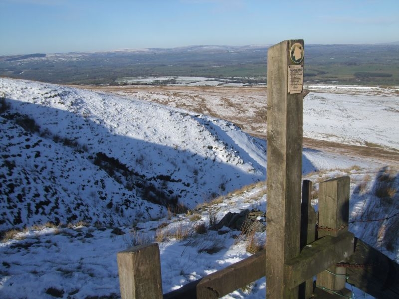
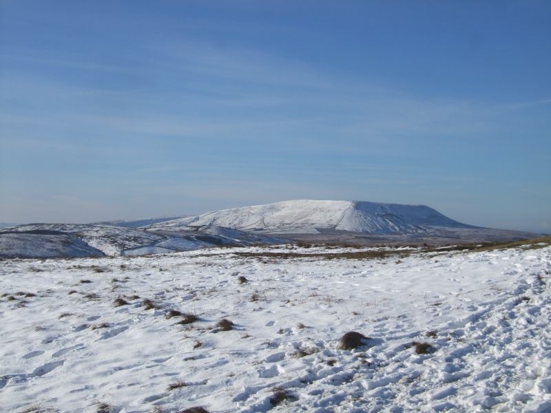
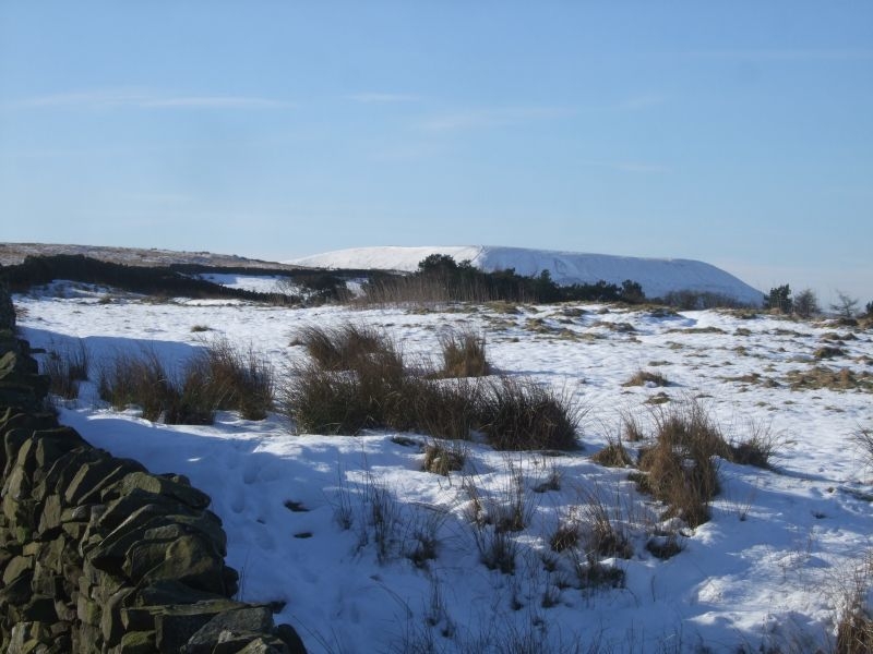
View over to Pendle on approach to trig point.
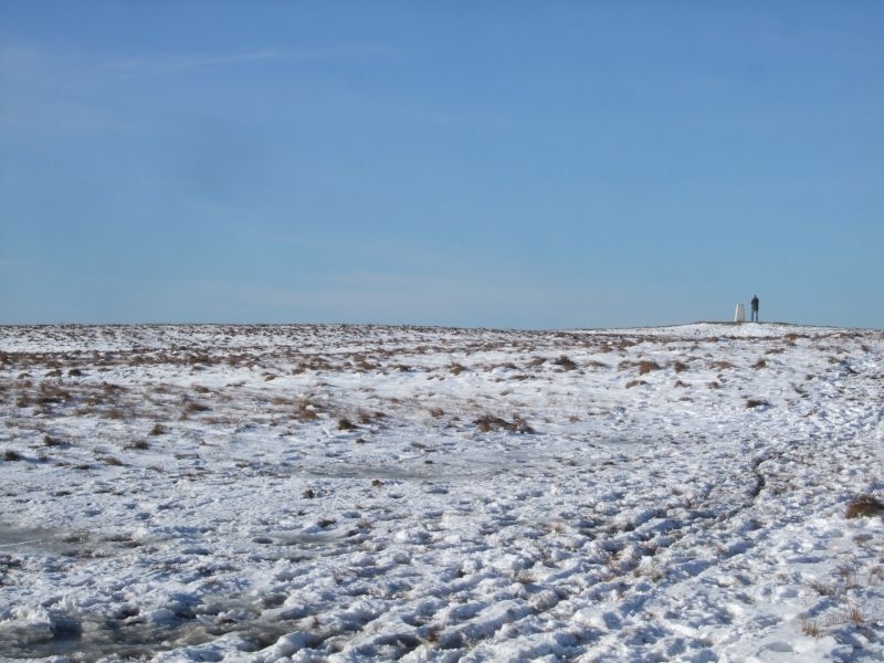
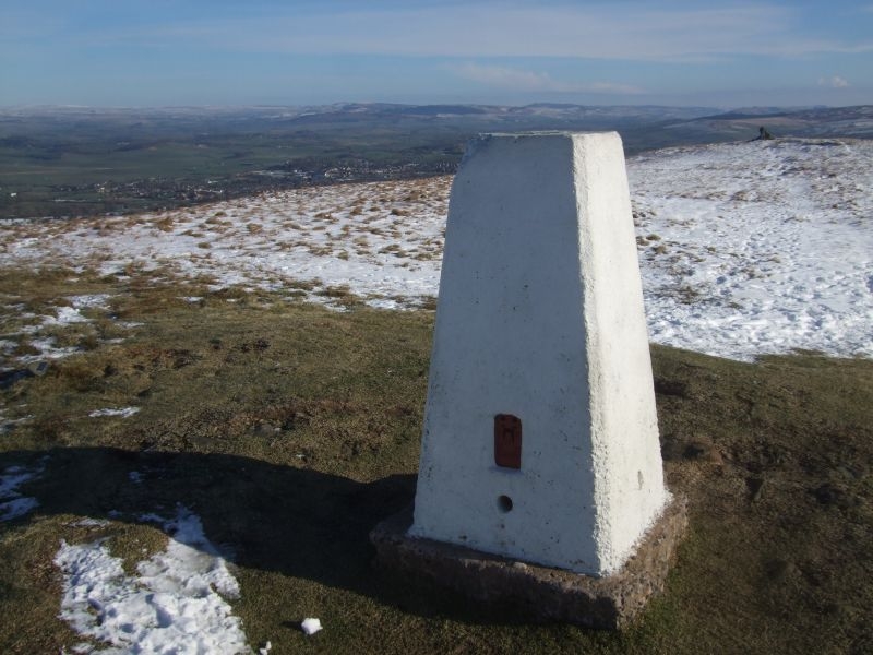
Weets Hill summit Trig Point.
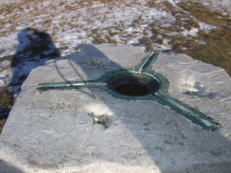
Mounting points on top of Trig.
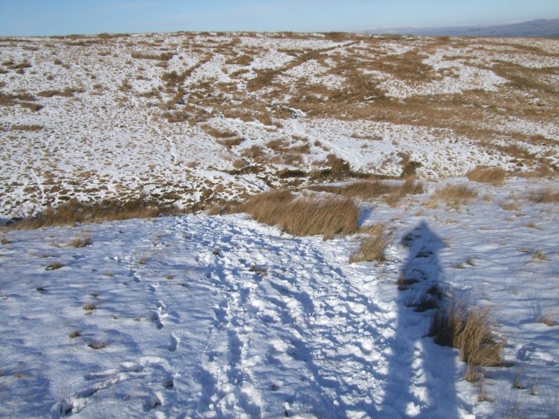
After a brew on the top I set off back down. Over the edge of the hill, the photo is about half way down.
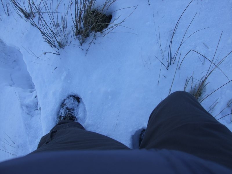
Boots in the snow, there's a good coverage on the side of the hill at this height.
Final descent with open moorland ahead.
Heading for Brown Hill, a look back to my descent route off the top.
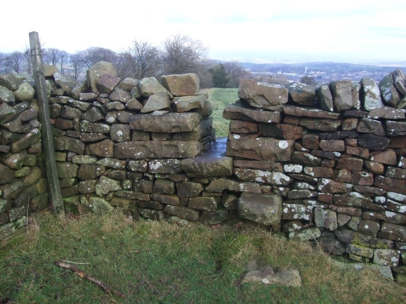
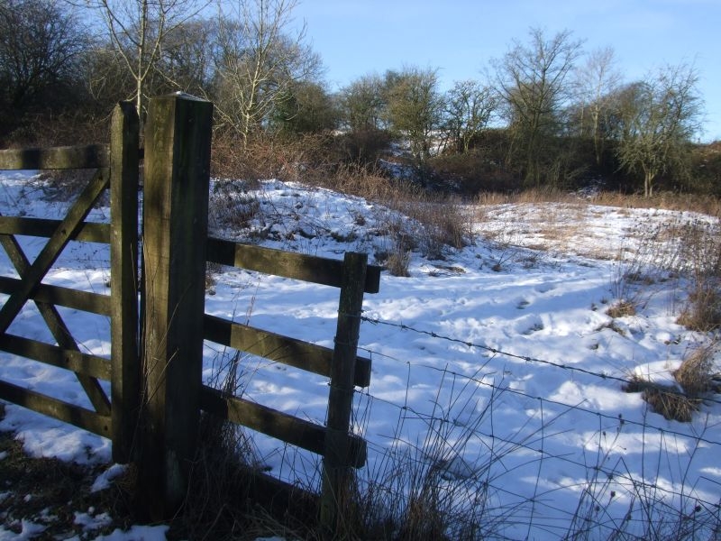
The stile is not easy to see here OK if you know the route well. In summertime I have seen walkers searching for this exit from the moor.
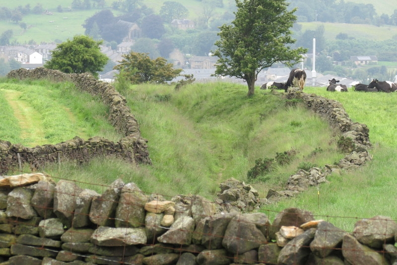
View down into Barlick from top of stile.
Looking the other way with Pendle in the distance.
Spot the stile here, hidden by the angle of approach.
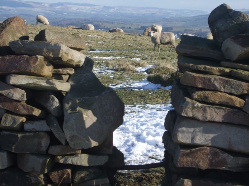
Here it is, gateway to The Edge, the sheep have clocked my approach already.
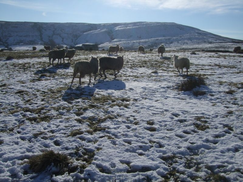
Ladies on The Edge.
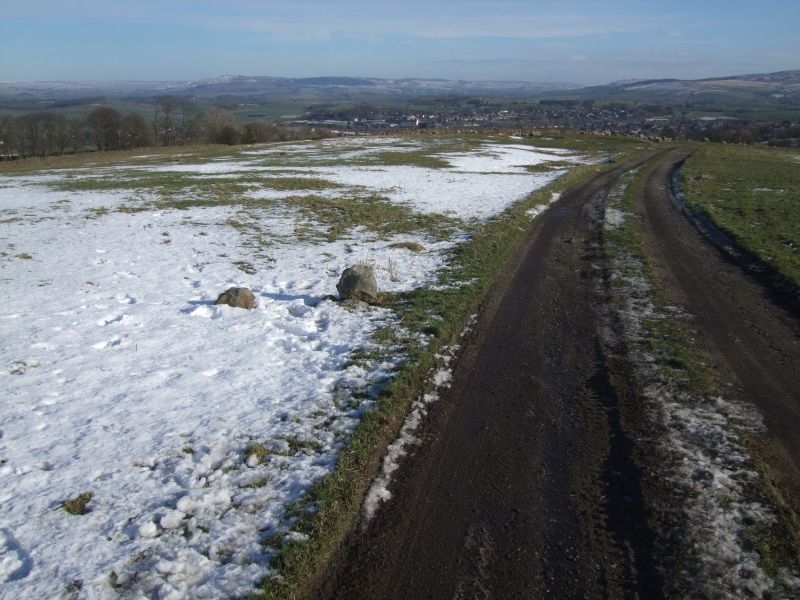
Further down and temporarily on the track, these way markers indicate the route to the next stile.
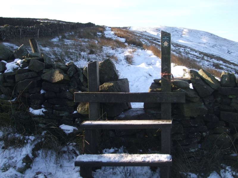
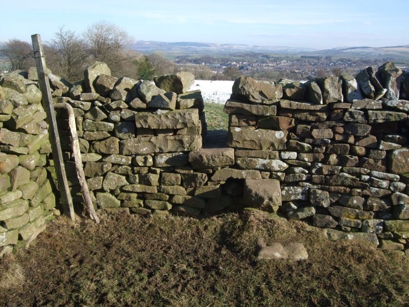
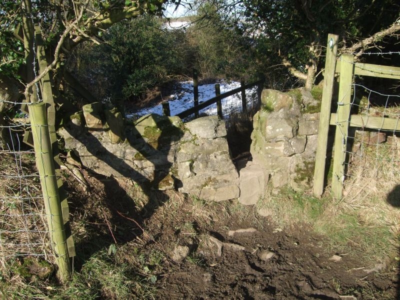
I have mentioned this before on the site, this is my favourite stile, there's just something about it.
Dark Hill ahead, Barlick in the distance, on the home leg now.
I detoured here down past the old lime kiln workings, Umps n Hollers or Humpty Dumpty's.
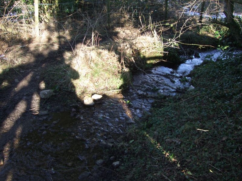
Dark Hill well rises just above here, this is the higher reaches of the beck.
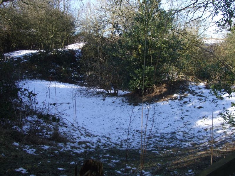
The workings are fenced off now as a reserve. The area was a popular picnic spot much loved by Barlickers in days gone by.

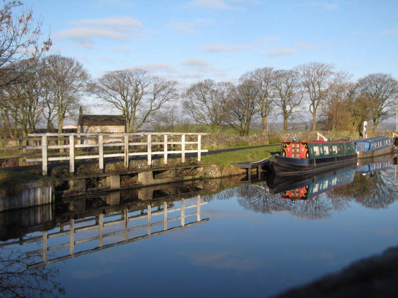
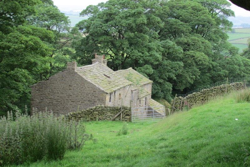
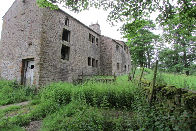
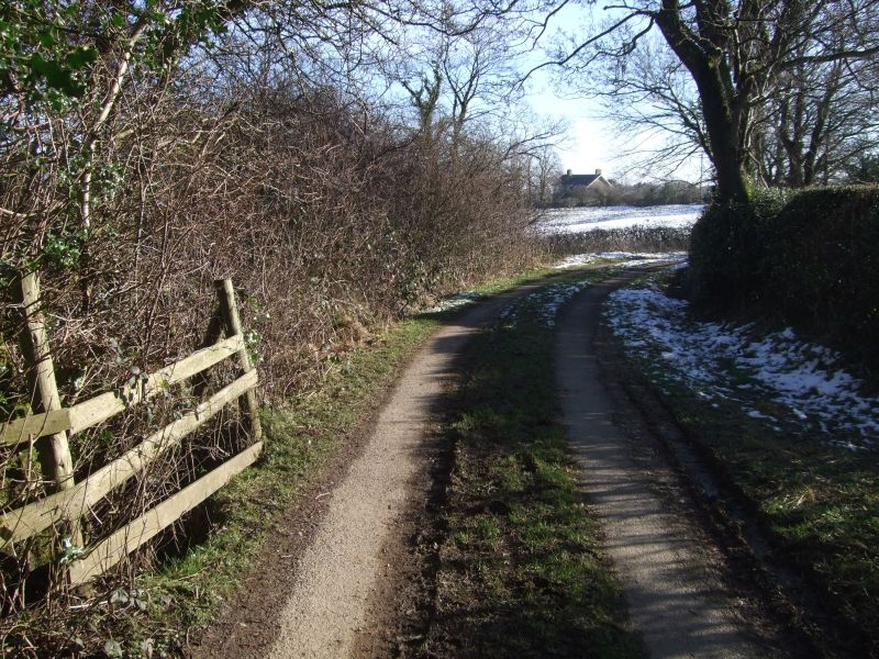
Here's the path down to Cow Pasture Farm.
Short hop down the lane to return via the buttercup field.
Buttercup field has been quite waterlogged.
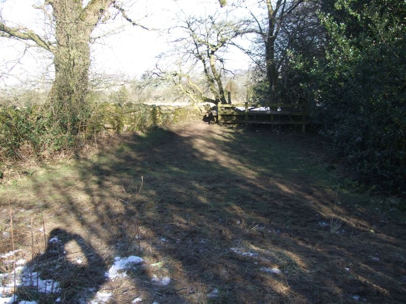
Last stile.
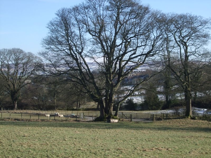
Triple trunked tree at the junction of the lanes. This tree was saved a number of years ago by a TPO placed on it by Sally and fellow councillors when a developer proposed a roundabout be installed at the junction.
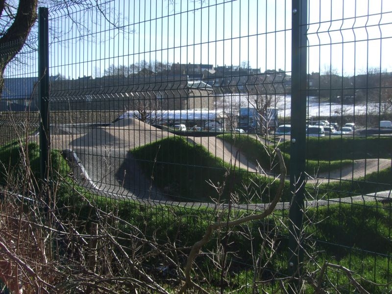
A few shots of the BMX track being developed by Hope Technology at the back of the mill. Still a work in progress but some parts already usable.
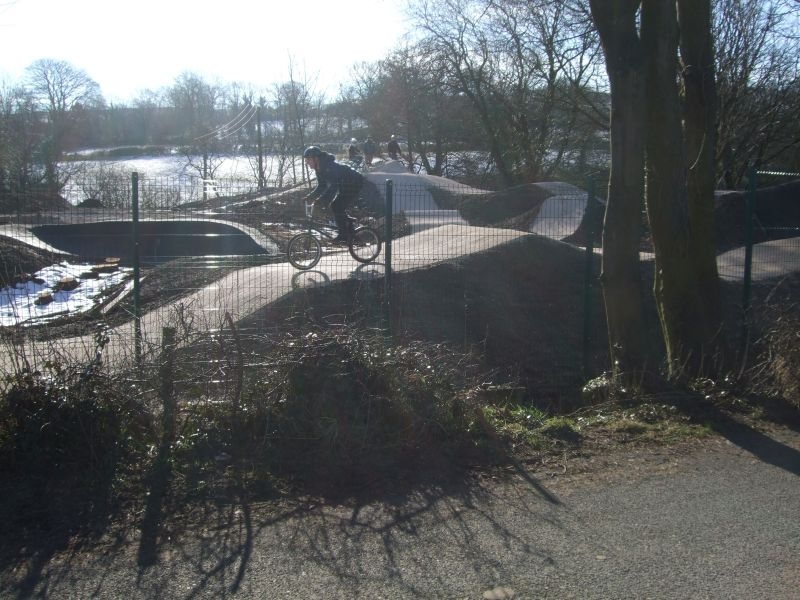
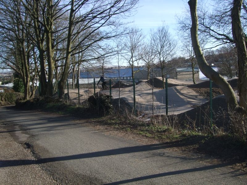
It will look very well when it is all like this.
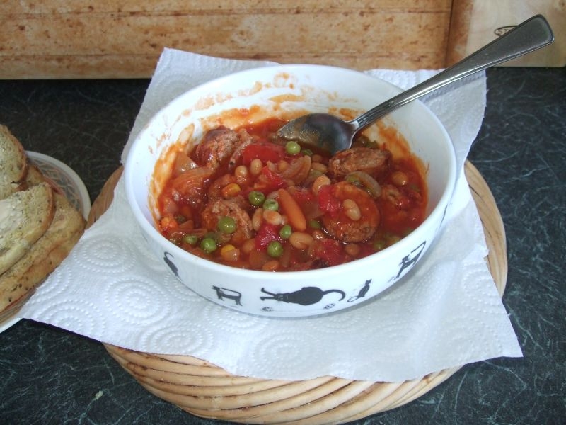
I returned via Parrock and had this to look forward to. Not the usual way to end a post in the walking thread but very welcome. A portion of last nights Cumberland sausage casserole.
The walk is 4.5 miles with a 500ft climb to 1100ft from our mean height of 600ft asl. It was a lovely day for it, cold but wall to wall sunshine, a good way to spend a morning.