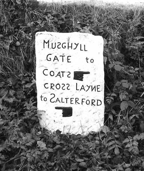
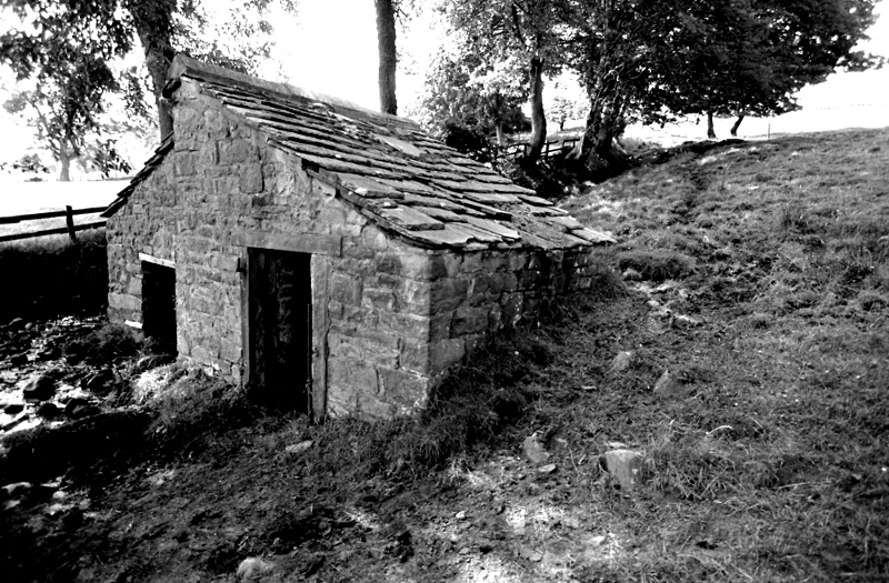
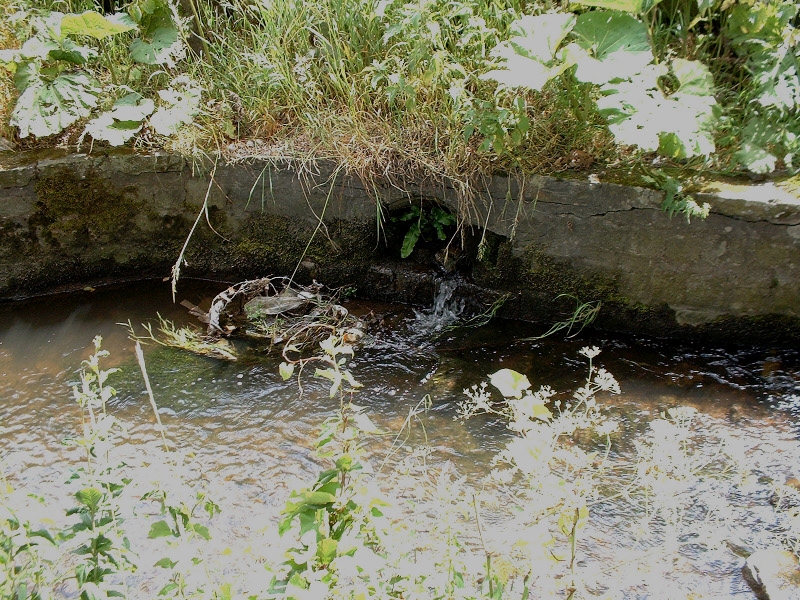
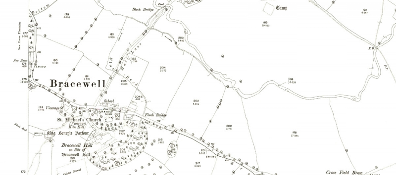
If you have a careful look at the 1853 map above and find the mill at Yarlside then follow the head race back you'll find that the weir was upstream from the ford. The remains of the race are still there and indeed still has water in it at the bottom of Hall Lane, funny thing is that it flows in the opposite direction now. There is very little fall in the valley bottom, that's why the race is so long. At some time the drainage system has been altered round the bottom of the lane and the old leat has been incorporated in it and now flows the wrong way.
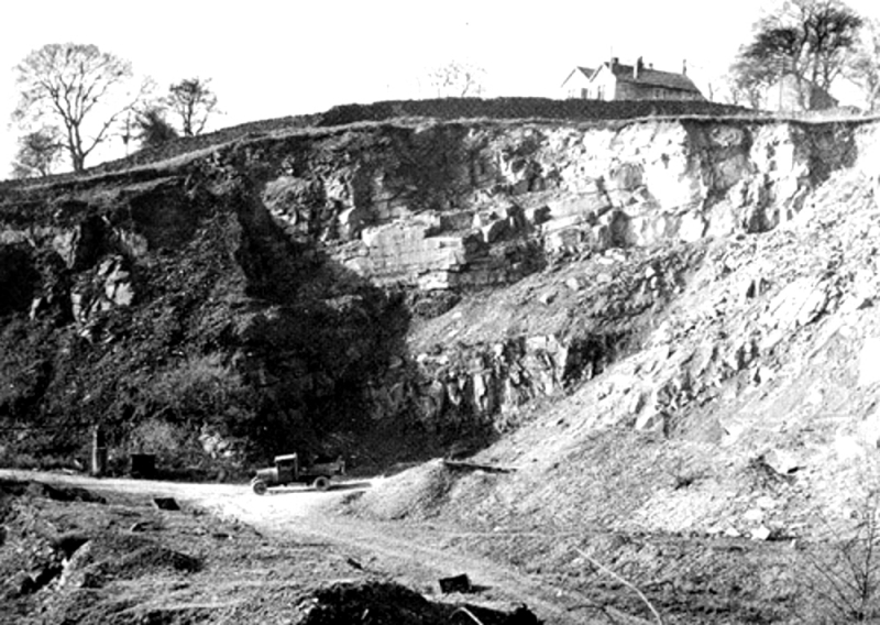
Another notable feature is that as you come away from the ford on the north side of Stock Beck you are facing into a large hole on the hillside. I reckon this was the quarry where they got the stone for the church and the hall and it is well healed over now.
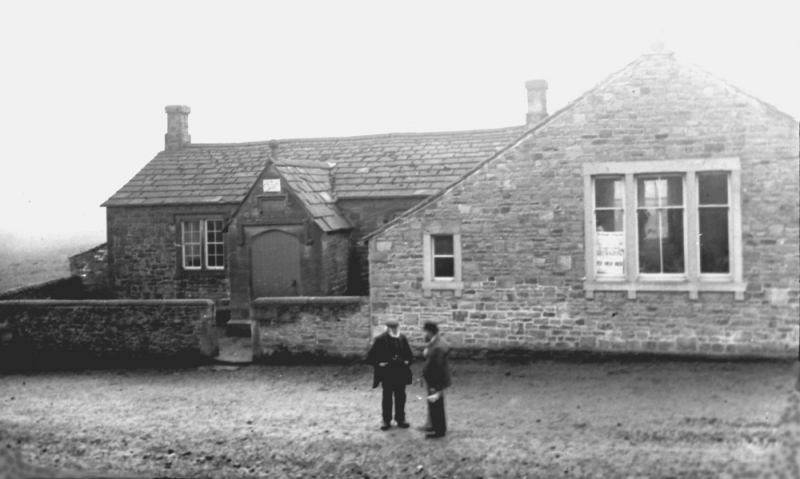
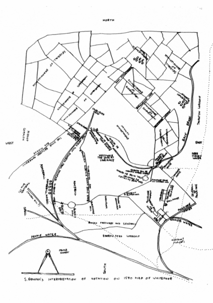
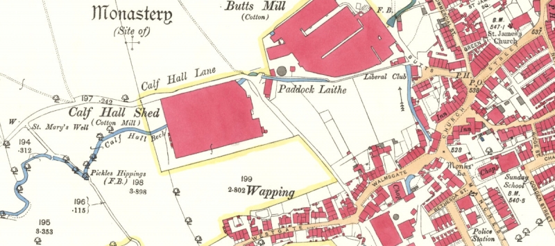
The 1892 25" map of Bracewell. If you look under the caption 'St Micheal's Church you'll see the name 'Kiln Hill'. In one of the descriptions of the original Bracewell Hall I have seen there is a mention that brick was used in the construction. There was a croft called 'Kiln Field' and this mention as well and I suspect that they made brick on site when the hall was originally built.
If you look in the field at the course of Stock Beck upstream of the ford you'll see where the weir for the mill was. Note the arrow on the leat showing a westerly flow. It is reversed now.