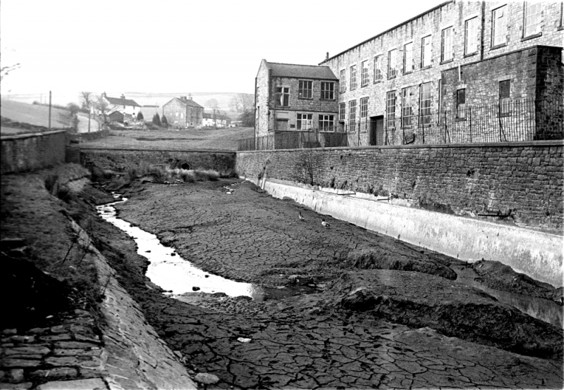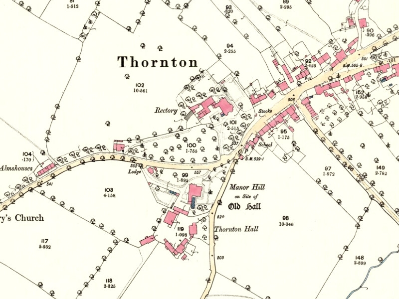
Thornton village in 1894.
I started off by thinking about Booth Bridge Mill in Thornton in Craven. Originally a corn mill it was later converted to a very successful bobbin turning mill in the mid 19th century. In contrast to County Brook there is almost no fall on the Earby Beck, it runs in an extension of the bottom land that extends all the way back almost to Foulridge. This is of course the reason why over the years flooding has been such a problem in Earby, not enough fall to get the water away quickly. Despite this drawback they must have had enough weight of water to run successfully because they survived!
In looking for a map to illustrate this I found I was in the position of a general planning a battle, the venue was on the junction of three maps! While I was puzzling over this problem I saw something on the village map that, if I have noticed it before, I had forgotten. If you look on the other side of the road from Thornton Hall Farm you'll see 'Manor Hill on the site of Old Hall'. This explains why the farm is called Thornton Hall Farm when what we might assume was Thornton Hall is a 19th century building named 'Thornton Manor'. This suggests that the original farm was the home farm for the hall in medieval times and not connected with the manor as it's site suggests.
Incidentally, I seem to remember Ernie Dawson, who farmed Thornton Hall when I knew it well, was owned by a firm of animal feed suppliers, I forget the name but they weren't local.
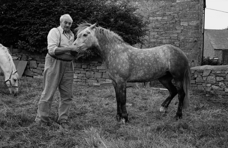
Ernie with one of his pet ponies in 1976. He is in the croft next to the large farmhouse which has since been converted to a private house.